The Compass
The North Star is good for telling navigators which way north is on clear nights. But to find your directions in the daytime or on cloudy nights, you need another device that was invented in China over a thousand years before Columbus made his famous voyages.
Do you know what that device was?
[Compass.]Take responses.
Optional Demonstration
Show a modern transparent compass on overhead projector. Use a magnet to show how it attracts the compass needle. Remove the permanent magnet and turn the compass to show how the needle always points towards magnetic north—aligning itself with the Earth’s magnetic field.
About 1,530 years ago, a Chinese Buddhist priest named Hwui Shan and his company of missionaries sailed northeast to the Aleutian Islands and Alaska. He then followed the Pacific Coast of the Americas, calling it Fusang, which means “Fabulous.”
Hwui Shan may have traveled as far south as Mexico. Details of his forty-year journey are found in the Chinese Imperial Archives. In his report to the Emperor, Hwui Shan described in detail the lands and people he saw. Many of the descriptions closely match what archaeologists believe the Americas were like at that time.
The compass has been used by the Chinese for navigation since its invention many centuries ago.
Let’s see how the compass works. Let’s imagine that we are in ancient China, navigating with a compass. Let’s see how a compass works.
DIGITAL EFFECT: Go to Sunset
Sunset. Stars. Move latitude to about 36° N.
VISUAL 10: Compass Parts
Fade on the “box” piece of the compass, pointing initially in a random direction.
DIGITAL EFFECT: Point Box
Use the four cardinal directions and (if possible) the four midpoint directions to point the compass box to the desired direction. Use here initially to demonstrate the box indicates the direction of ship travel. Rotate to each indicated direction over 5 seconds. Note: If your locate commands use absolute azimuth parameters, the actual direction the box rotates as you choose one direction to the next may vary. In particular, the box may not rotate in the shortest path (e.g. going from NorthWest to NorthEast, the box may rotate 270° clockwise, instead of the shorter 90°.
This is the box that holds the compass. It is attached to the ship. The triangular part indicates the prow, or front of the ship. It shows which way the ship is pointing.
Note:
To manipulate the compass parts, use digital effects to adjust. You should be able to point the compass box towards the indicated direction, allow for slight variations from true north, and allow adjustments to point to true north. Use as needed.
VISUAL 11: Compass Needle
[Fade on the “needle” piece of the compass, pointing initially in a random direction.]
DIGITAL EFFECT: Point Needle
Point the compass rose to the desired direction. Possible choices are due north, 20° west or east of north, and 10° west or east of north. Use to illustrate the variation between true north and magnetic north. Therefore, the needle should probably not stay pointed north, but we include it here as a choice to demonstrate drift of the needle.
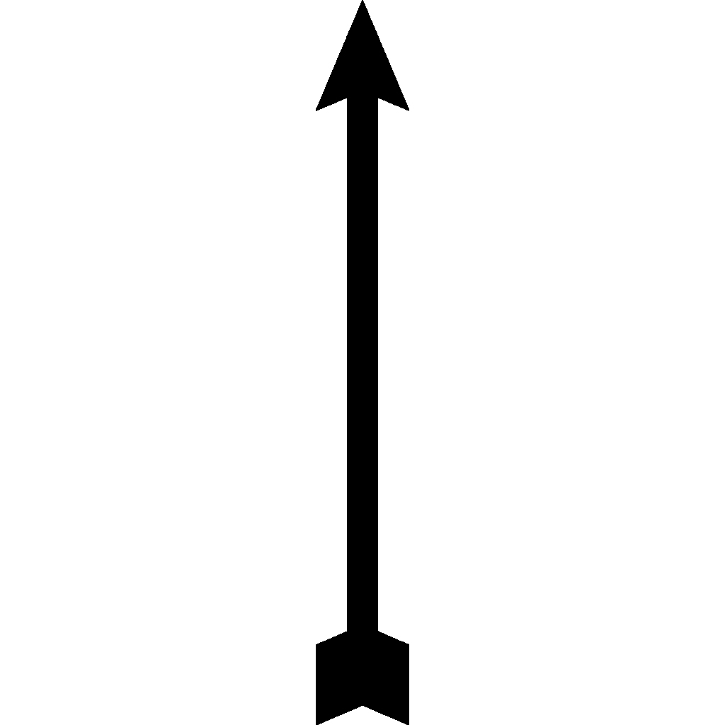
This is a compass needle on the pivot at the center of the compass box. Ship’s pilots all carried two or three lodestones, or natural magnets, used to magnetize a needle. The needle was placed on a pivot, so that it would stay flat as the ship rocked. If the ship turned, the compass needle still points in the same direction.
DIGITAL EFFECT: Rotate Box
Demonstrate by rotating the box layer while keeping the needle pointed in the same direction.
Does the needle point to the North Star? [No.]
That’s because the compass needle does not necessarily point true north. It points in a direction towards the North Pole, called “magnetic north.” The difference between magnetic north and true north is not the same everywhere on the Earth. So, sailors needed to adjust their compasses to true north by the stars.
VISUAL 12: Compass Rose
[Fade on the “rose” piece of the compass, pointing initially in a random direction.]
DIGITAL EFFECT: Point Rose
Point the compass rose to the desired direction. Possible choices are due north, 20° west or east of north, and 10° west or east of north. Use to illustrate the occasional drift of the compass rose with true north. In general, the rose should stay pointed towards true north, but we include different variations for an option to demonstrate drift on a ship.
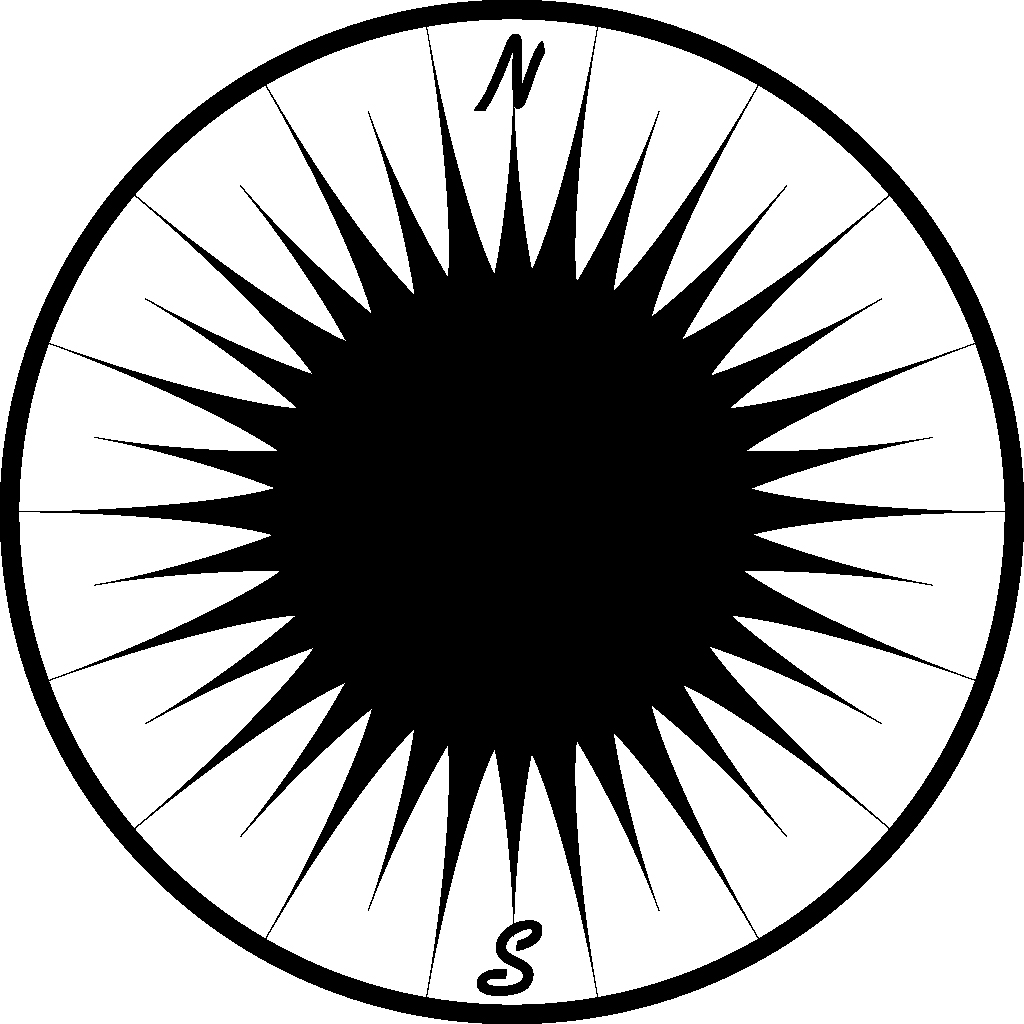
Here is a card, called a compass rose, that indicates the directions. We can adjust the compass rose so that it points true north, and then attach it to the top of the needle. This way, the compass rose always points to true north, even as the ship turns.
How do we find true north?
[North Star. Have someone point it out. If necessary review how to find the Big Dipper and North Star.]
The most accurate way to find north, east, south, and west is by using the North Star. Now we’ve found the North Star. Since the North Star is directly over the North Pole of the Earth, if we turn toward the North Star, we are facing directly north.
Can you find east, south, and west, now that we know where true north is located?
[Invite responses.]
DIGITAL EFFECT: Cardinal Directions On
Fade on the cardinal directions. Use after establishing the cardinal directions with Polaris and the compass rose.

[Point to N,E,S,W.]
We need to adjust the rose so it points to true north. May I have a volunteer to point with the pointer? Do the rest of you agree?
[Take any answers. Then point compass rose due north.]
At other places in the planetarium, the needle may not appear to be quite aligned with the North Star. Another visitor can come up to check the navigator’s alignment.
If the ship turns, the compass rose still points toward north. This pointer on the box shows us the direction the ship is sailing.
DIGITAL EFFECT: Rotate Box
Demonstrate by rotating the box layer while keeping the compass rose pointed in the same direction.
Let’s start sailing eastward from China.
DIGITAL EFFECT: China To Anchorage
Crossfade the scene to begin the journey to Anchorage, Alaska from Qingdao, China. Qingdao was chosen as a port city around 36° N. Point the compass needle and rose 6.5° northwest and due north, respectively, and display the position information. The 6.5° offset is the approximate magnetic declination at Qingdao. Finally, load, fade up, and play the ocean sound file.
Is our ship headed eastward?
[Take group suggestions for correct adjustment of box.]
DIGITAL EFFECT: Head Box East
Rotate the compass box to due east, for the first leg of the voyage. Use after getting audience input on which way the compass box should point if we want to start by voyaging east.

Ocean sounds.

DIGITAL EFFECT: Step 1 to Anchorage
Travel to the coordinates of Tokyo, Japan, at local noon, over 30 seconds. During the “travel time,” fade the atmosphere on (over 2 seconds) and off (over 2 seconds) five times to simulate the passage of time over many days—even though no time is actually changing. Use a 4 second delay between the fade down and the following fade up of the atmosphere so the stars are visible for more of the “trip.” Simultaneously, secretly throw the compass needle off by 10° or more to demonstrate a different magnetic declination from true north at a different location. In reality, the magnetic declination is about 7° northwest at Tokyo, but we show a wider variation for dramatic effect.The difference between magnetic north and true north changes a little bit as we continue to sail hundreds of miles to the east. Every time the stars are out, we can check the compass to see if the rose is still pointing towards the North Star. We must adjust it, if it is off. For now, let’s start heading northeast.Take audience input on which way the compass box should point if we want to start by voyaging northeast along the Asian coast.

DIGITAL EFFECT: Step 2 to Anchorage
Travel to the coordinates of the Aleutian Islands at local noon, over 30 seconds. During the “travel time,” fade the atmosphere on (over 2 seconds) and off (over 2 seconds) five times to simulate the passage of time over many days—even though no time is actually changing. Use a 4 second delay between the fade down and the following fade up of the atmosphere so the stars are visible for more of the “trip.” Secretly throw off the compass needle towards 11.5° northeast and shift the rose 15° northwest over 30 seconds. Again, the needle is shifted to show drift (the approximate magnetic declination at the given coordinates), but the more important shift this time is the drift of the compass rose, which needs to be corrected.
How’s our compass rose?
[Not pointing north.]
Let’s readjust.
[Have other students come up to adjust the compass as desired.]
DIGITAL EFFECT: Rose to North
Rotate the compass rose to true north—a necessary correction for sailors.

DIGITAL EFFECT: Step 3 to Anchorage
Travel to the coordinates of Anchorage, Alaska, at local noon, over 30 seconds. During the “travel time,” fade the atmosphere on (over 2 seconds) and off (over 2 seconds) five times to simulate the passage of time over many days—even though no time is actually changing. Use a 4 second delay between the fade down and the following fade up of the atmosphere so the stars are visible for more of the “trip.” Move the needle to 18° northeast (the approximate magnetic declination of Anchorage).

Fade off ocean sounds.

DIGITAL EFFECT: End Voyage
Fade off the entire compass and the cardinal directions. Also reset the compass and cardinal directions.Even with modern magnetic compasses, you need to know the angle between magnetic north and true north to use a compass successfully. It is called the angle of deviation and is shown on navigational maps. The angle of deviation is different for various locations on the Earth.